


ISRO, NASA join hands for NISAR satellite to track disasters, impact of climate change
It is being assembled in a NASA clean room, after which it will be sent to India to prep it for launch at UR Rao Space Centre.

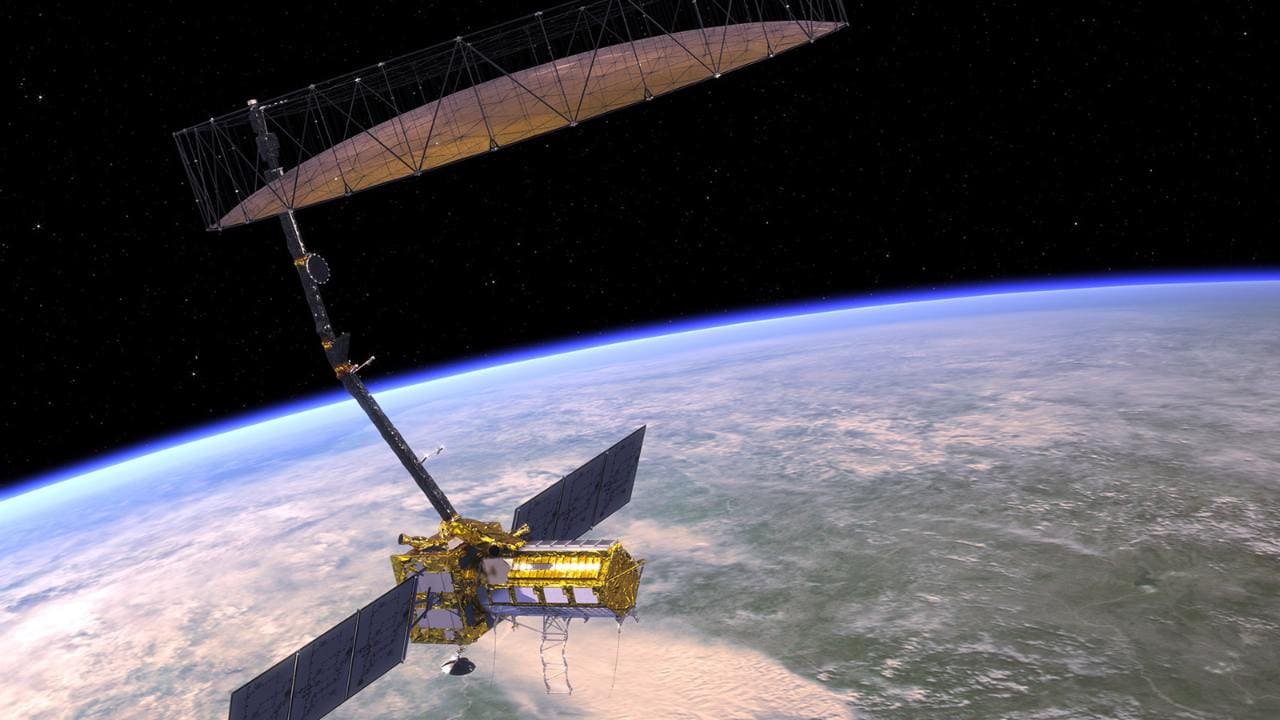
Illustration of the NISAR satellite co-developed by ISRO and NASA. Image credit: NASA[/caption]The Geosynchronous Satellite Launch Vehicle Mark-II (GSLV Mk II) is ISRO's largest launch vehicle in use, at present. It is a three-stage vehicle with four liquid strap-ons. First launched in 2014, the GSLV MK II is a fourth-generation launch vehicle.
About the satellite
Mission objectives
The main goals for the NISAR are two-fold – measure and track ecosystem and land-use changes, as well as melting ice. The measurements are used to help in forecasting and assessments. India has specific issues it will monitor with NISAR such as the agricultural biomass over the country, disaster management, studying snow and glaciers in the Himalayas as well as India’s coastal areas and near-shore oceans.Some other uses for this satellite include monitoring natural crises like earthquakes, tsunamis, landslides, volcanic eruptions and groundwater supplies; observe shifts in the distribution of vegetation, croplands and hazard sites.Using onboard instruments, NISAR will be able to detect signs that indicate when too much underground water has been pumped out, or the movement of magma under the surface before a volcanic eruption. It will also be able to provide time-lapses of these events.
Bands & radar
NISAR will be the first satellite to use two different radar frequencies - L-band and S-band.ISRO will work on the S-band radar, the spacecraft bus, the launch vehicle (GSLV Mk II) and will also launch the satellite. NASA, on the other hand, will provide the L-band radar, communication subsystem for science data, GPS receivers, a solid-state recorder and payload data subsystem.[caption id="attachment_9511131" align="alignnone" width="1280"]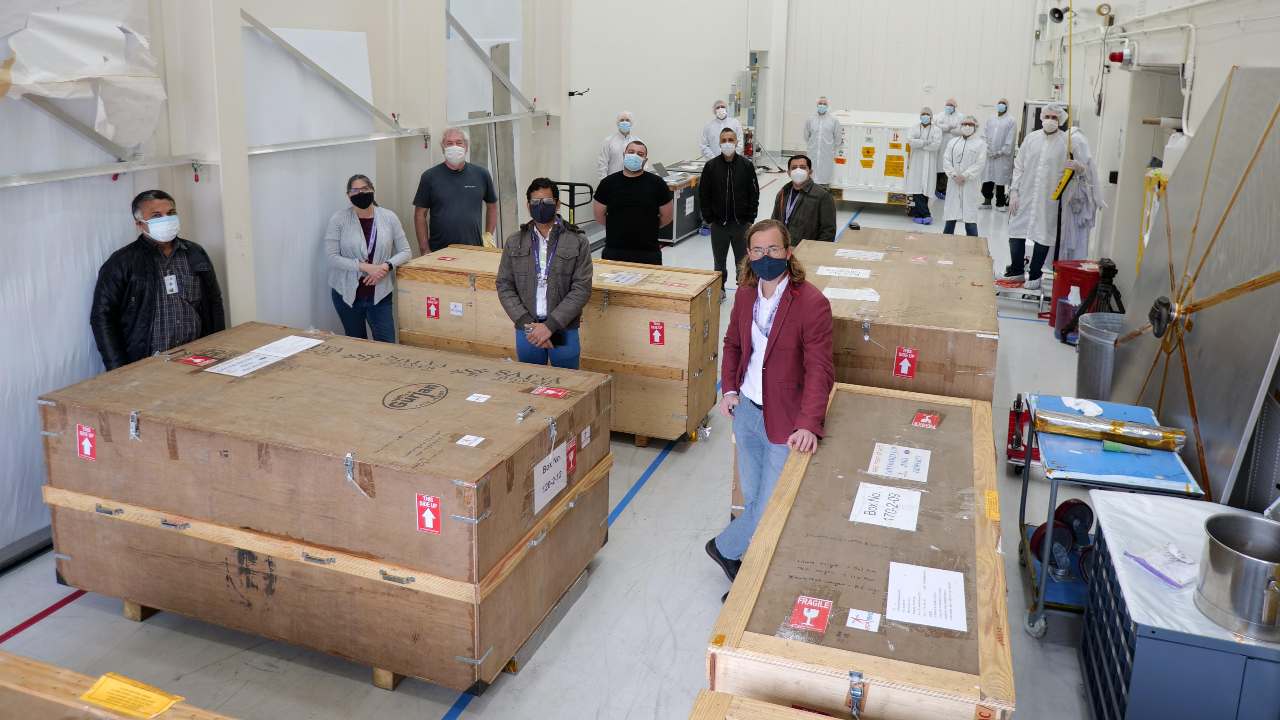
The S-band SAR, one of two kinds of radar on the NISAR mission, arrived at JPL on 19 March. Credit: NASA/JPL-Caltech[/caption]Two kinds of synthetic aperture radar (SAR) will be used by the satellite to measure changes in the Earth’s surface. The communication link with Earth includes a wire mesh radar reflector antenna that is 12 metres in diameter, perched at the top of a nine-metre-long (30-ft-long) boom that pings and receive radar signals to and from Earth’s surface. This kind of satellite communication is quite similar to weather radars, which use signals bouncing off raindrops, to track storms.The images from the satellite are supposed to be extremely detailed, and will be able to show the most minute changes locally, but will also be broad enough to measure regional changes. NASA says NISAR will be able to detect movements on the planet’s surface as small as one centimetre over areas about the size of half a tennis court. By collating this data, it will help us understand the 'cause and consequence' of all changes occurring the world over. This will further help us manage our resources better and adapt to the changes as well.Both radars can ‘see’ through clouds and foliage, but the L-band can penetrate deeper into dense vegetation than the S-band. According to a NASA statement, the imaging swathe — the width of the strip of data collected along the length of the orbit track — is greater than 240 kilometres. This will allow the satellite to image the entire Earth in just 12 days.NISAR is currently being assembled in a cleanroom at the US space agency’s JPL in Southern California. On 19 March, ISRO sent the S-band radar to NISAR’s assembly, test, and launch team at JPL in order for it to be attached to the satellite. After assembly, the satellite will be sent back to India to prep it for its launch, which will be done at the UR Rao Space Centre, in Bengaluru.

Careless Whispers: Scientists discover that plants can 'talk' to each other using smells
Life on Mars? European Space Agency’s Orbiter discovers ice water deposits at equator
Microsoft briefly overtakes Apple as the most valuable company, Apple back on top again
Even NASA is facing a tough time, starts layoffs following major budget cuts
ISRO, NASA's NISAR satellite to get ready by Jan-end, will monitor Earth's snow-covered regions