


Google Earth adds Measure Tool to calculate distance and areas between places
Apparently, the feature is one of the most requested ones by users.

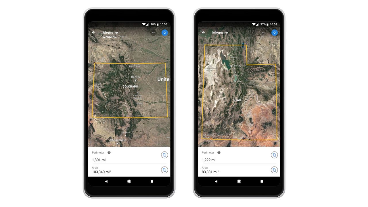
Google Maps Measure Tool. Image: Google[/caption]Though, it is interesting to note how so many of Google’s products and features overlap with each other. To begin with the distance measure is now available on both Google Maps and Google Earth.The distance measure can only be told apart on the two products with Google Earth’s ability to measure the length, width, and area of whatever you choose, which can’t be done on Google Maps. On Maps, it is essentially a point A to point B distance that you can measure.Basically, with Measure Tool, Google Earth will allow you to select the borders of the area you want to look at, and learn the measurements of irregularly-shaped parks, buildings, and even countries.Google had recently also launched a ‘Measure app’ for ARCore-enabled smartphones. The app is very similar to the ‘Measure Tool’, but on a different scale. While the Measure app is designed to let users leverage augmented reality (AR) technology to measure objects in the real world, Google Earth lets you measure the distance and area of anything on the map. The essential role, however, remains the same.

Why AI notetakers are raising serious privacy and security concerns
China's low-cost AI models are changing the global AI race. Here's why Silicon Valley is worried
China's Kimi K3 challenges US AI leaders with frontier-level performance at lower cost
How did Instagram run ads promoting child abuse in India?
Why has India halted WhatsApp’s username feature before launch?