


The Missing Continent: What we know about Zealandia, the eighth continent discovered after 375 years
A team of seismologists and geologists have updated the map of Zealandia, also known as Te Riu-a-Māui in the Māori. According to scientists, there are actually eight continents and the newest one is the smallest, thinnest, and youngest on the entire planet

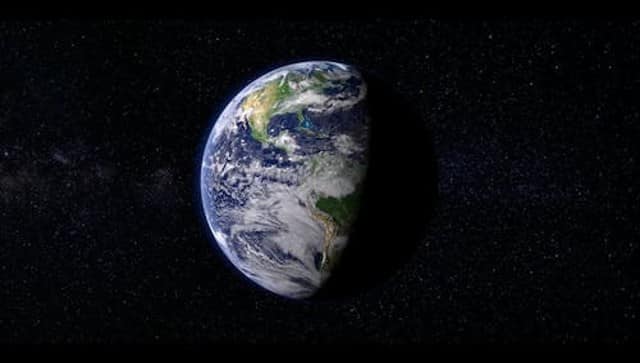
A detailed map of Zealandia was published in the journal Tectonics by a global team of geologists and seismologists. Pexels[/caption]Abel Tasman, a Dutch businessman and sailor who was driven to find the "Great Southern Continent," is credited with making the first known discovery of it in 1642, according to Wion News.He tried to locate the general region but was unsuccessful. Geologists did not learn that the continent had been concealed from view all along until 2017.Also read: Why has Earth’s pole moved? What’s the connection to India?The new studyNow on Tuesday, a detailed map of Zealandia was published in the journal Tectonics by a global team of geologists and seismologists."We believe Zealandia is the first of Earth's continents to have its basement, sedimentary basins, and volcanic rocks fully mapped out to the continent-ocean boundary," the team explained in their paper.According to the researchers, between 100 and 80 million years ago, the earth's crust underwent significant thinning, which ultimately led to the continent sinking. This thinning was probably caused by the crust being stretched in different directions.IFL Science reported that there is proof that Zealandia previously supported a diverse range of plants and animals, including shells from animals that lived in shallow water and pollen spores from land plants that are now mostly submerged deep beneath the ocean.Using information from dredged rock samples found on the ocean floor, they were also able to guess its shape and structure.After researching the geological trends in West Antarctica, they got to the conclusion that there might be a subduction zone close to the Campbell Plateau off the west coast of New Zealand.By analysing samples of rocks and silt taken from the ocean floor, the researchers improved the maps of Zealandia that already existed. Some of these samples came from the coastlines of nearby islands, whereas the majority came from drilling sites.The geologists at Zealand Crown Research Institute GNS Science acknowledged that despite the majority of the newly discovered continent being underwater, it took some time for anything "very obvious" to be discovered."(It's) a process which we don't completely understand yet, Zealandia started to be pulled away," Tulloch explained, indy100.com reported.The study also added that the team is now attempting to determine when Zealandia first began to "pull away" from the supercontinent Gondwana, which at one point covered the majority of Western Antarctica and Eastern Australia more than 500 million years ago.With inputs from agencies

Delhi Police asks personnel to wear uniform: What the law says on cops in plainclothes during protests
Military drones & police check-ups: How Sri Lanka is fighting against worst dengue outbreak in a decade
How Facebook job ad lured 2 Karnataka men into Myanmar cyber scam camp
Why is India seeing 95% cloud cover despite a Super El Niño?
What is CJP’s fourth demand to the government as protests in Delhi intensify?