


China's new high-res satellite can provide best stereo imagery in the East, says CCTV
Gaofen satellites are helping China build an all-weather, 24x7, global remote sensing system by 2020 that can monitor ground, sky, and the oceans.

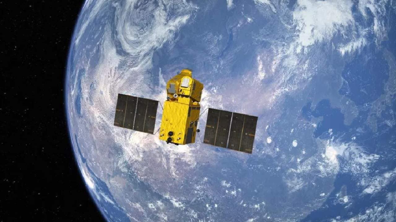
An illustration of the Gaofen-7 satellite, a sub-metre resolution optical satellite that boasts the highest mapping accuracy among its domestic peers, and is able to map China and even the world’s lands stereoscopically with a margin of error of less than a metre. image: CCTV[/caption]The satellite, which will be used for land surveys, urban planning and statistical investigation, will help end China’s reliance on foreign imports in high-resolution stereo mapping, the CCTV added.The purpose of China’s satellite remote sensing project — the Gaofen series — is to help build an all-weather, 24-hour, global Earth remote sensing system by 2020 capable of monitoring the ground, atmosphere, and oceans, according to CNSA.The Gaofen project, one of the 16 major projects that are key to the nation’s scientific development, is also aimed at comprehensively boosting China’s self-reliance in accessing high-resolution earth observation data.

Careless Whispers: Scientists discover that plants can 'talk' to each other using smells
Life on Mars? European Space Agency’s Orbiter discovers ice water deposits at equator
Microsoft briefly overtakes Apple as the most valuable company, Apple back on top again
Even NASA is facing a tough time, starts layoffs following major budget cuts
ISRO, NASA's NISAR satellite to get ready by Jan-end, will monitor Earth's snow-covered regions