


Spellbinding images captured by ISRO's Earth observation satellites, India's "eyes in the skies"
The images were captured by InSat 3DR, the RiSat-1, ScatSat-1, ResourceSat-2A and the CartoSat 2 series satellites

[caption id="attachment_3880649" align="aligncenter" width="940"]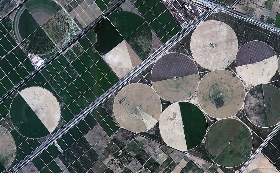 Alexandria in Egypt imaged by the CartoSat 2 series satellite. Image: ISRO[/caption][caption id="attachment_3880651" align="aligncenter" width="940"]
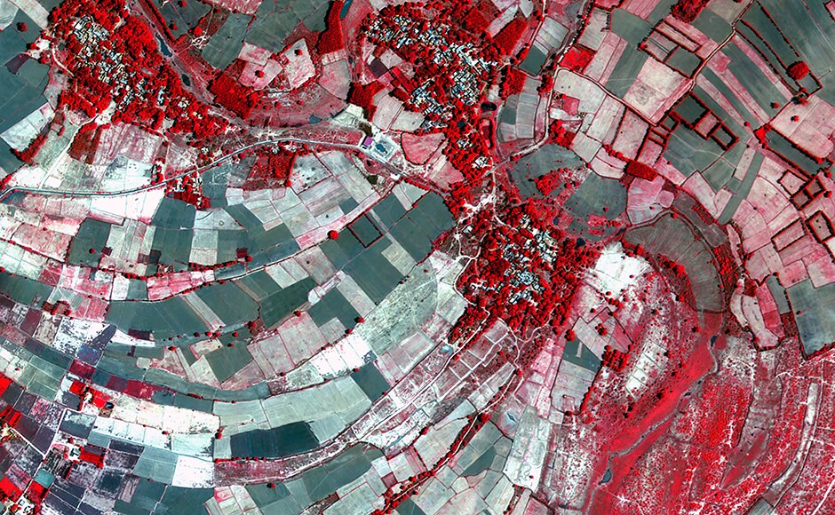 Bhiduriya in UP, India imaged by the CartoSat 2 series satellite. Image: ISRO[/caption][caption id="attachment_3880653" align="aligncenter" width="940"]
 BKC in Mumbai and the Mithi river imaged by the CartoSat 2 series satellite. Image: ISRO[/caption][caption id="attachment_3880655" align="aligncenter" width="940"]
 Doha, Qatar imaged by the CartoSat 2 series satellite. Image: ISRO[/caption][caption id="attachment_3880657" align="aligncenter" width="940"]
 Another image of Doha, Qatar imaged by the CartoSat 2 series satellite. Image: ISRO[/caption][caption id="attachment_3880659" align="aligncenter" width="940"]
 The Earth captured by the InSat 3DR. Image: ISRO[/caption][caption id="attachment_3880661" align="aligncenter" width="940"]
 Koila, Gayanpur in UP imaged by the CartoSat 2 series satellite. Image: ISRO[/caption][caption id="attachment_3880663" align="aligncenter" width="940"]
 Daman imaged by the ResourceSat 2A. Image: ISRO[/caption][caption id="attachment_3880665" align="aligncenter" width="940"]
 Mt. Sinabung in Indonesia captured by the RiSat-1. The blue areas represent fresh lava flows.[/caption][caption id="attachment_3880667" align="aligncenter" width="940"]
 The Howrah bridge imaged by the RiSat-1[/caption][caption id="attachment_3880669" align="aligncenter" width="940"]
 A global wind map captured by the ScatSat-1[/caption][caption id="attachment_3880677" align="aligncenter" width="940"]
 The Antartic imaged by the ScatSat-1[/caption][caption id="attachment_3880679" align="aligncenter" width="940"]
 The Arctic circle imaged by the ScatSat-1. Image: ISRO[/caption]

India seize control of Dominica Test after Ravichandran Ashwin rattles West Indies with spin brilliance
India@75: From Jawaharlal Nehru to Narendra Modi, a throwback to Independence Day at Red Fort
Tejashwi Yadav ties knot with school friend Rajshri at intimate ceremony in Delhi
Here's a sneak-peek at the redeveloped Rani Kamalapati Railway Station inaugurated by PM Modi
NASA-SpaceX capsule carrying 4 astronauts returns to Earth, ending 200-day space station mission