


Google Maps gets COVID-19 features, updates: Users to receive live crowdedness info globally
Maps has supposedly got 200 new features from the onset of the pandemic to help users better adjust to the new normal.

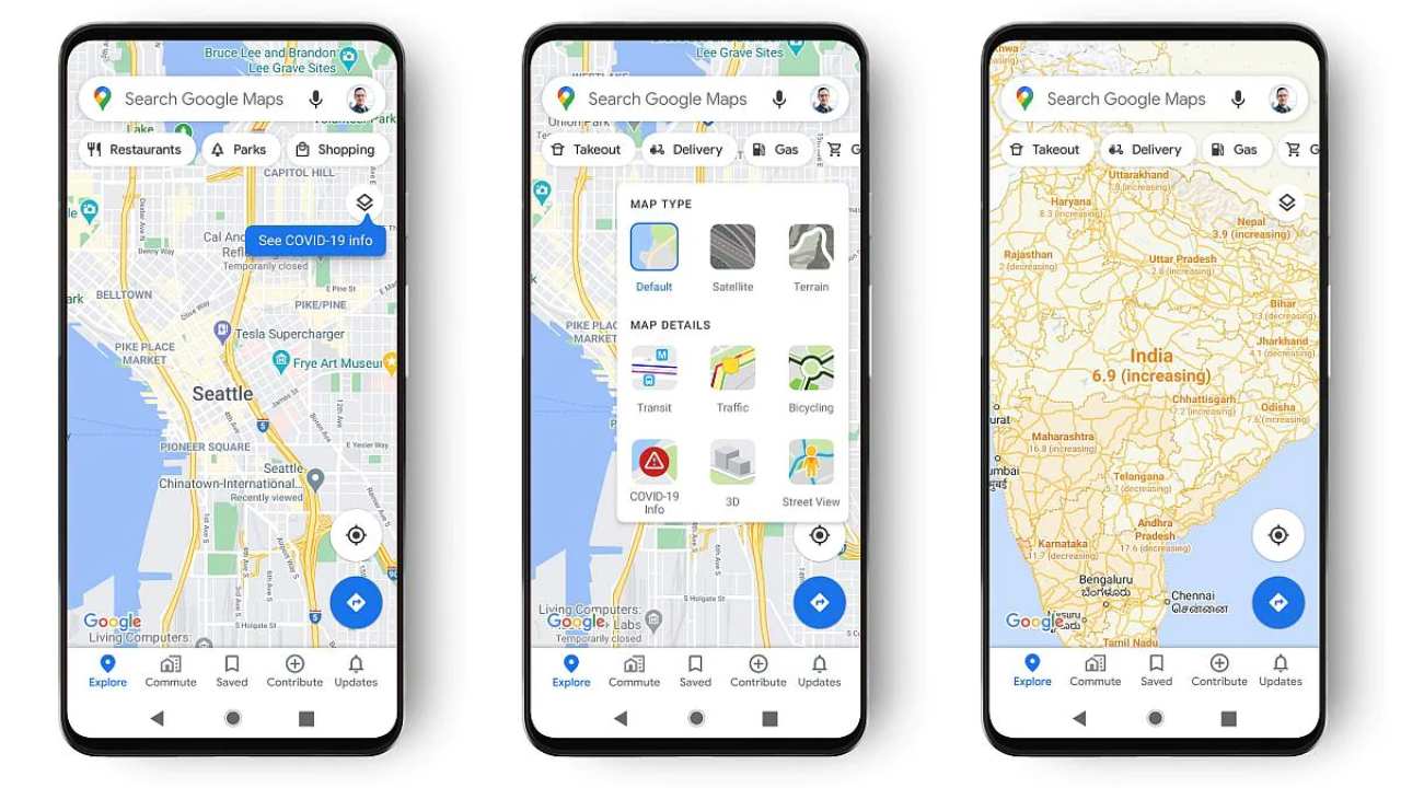
Google Maps COVID layer. Image: Google[/caption]According to Google, Maps has received 200 new features from the onset of the pandemic to help users better adjust to the new normal. Continuing on the same path, Google has started the roll-out of live crowdedness information. The blog says the feature is for both Android and iOS users across the globe and soon everyone will be able to see how crowded their bus, train, or subway line is at the current time. It is but obvious that the feature will work only in the places where data is available based on real-time feedback from Google Maps users around the world.Another new feature includes the ability to see the live status of takeout and delivery orders. This will be rolled out in the United States, Canada, Germany, Australia, Brazil and India. Applicable on both Android and iOS, users will be able to track when to pick up the food, or when one can expect it to arrive, and also reorder the same dish again directly from Google Maps.Google is also rolling out an early preview of the improved experience of Google Assistant driving mode for Android users in English in the US.

Why AI notetakers are raising serious privacy and security concerns
China's low-cost AI models are changing the global AI race. Here's why Silicon Valley is worried
China's Kimi K3 challenges US AI leaders with frontier-level performance at lower cost
How did Instagram run ads promoting child abuse in India?
Why has India halted WhatsApp’s username feature before launch?