


Canon unveils interactive site that allows users to take images from satellite
The satellite orbits at 600 km and provides about 36-inch ground resolution within a 3x2 mile frame.

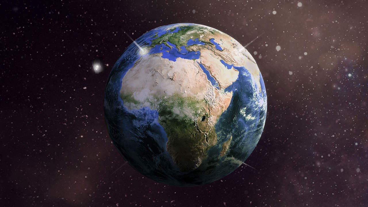
The interactive demo of the website allows one to take images from multiple locations. While each shot shows the location and altitude of the image, it actually uses a pre-captured imager. Thus users are not actually grabbing live images.If the CE-SAT-1 was allowing for live photos, the microsatellite would be flying around the Earth at nearly 17,000 miles per hour and circling the globe in just a little over half an hour.Astronaut Marsha Ivins explains the satellite's purpose and design in the online experience.The report adds that microsatellites are much smaller and cheaper than regular satellites.Canon later tried launching the Canon’s CE-SAT-IB satellite camera, alongside six other satellites aboard Rocket Labs’ Electron vehicle as part of its ‘Pics or It Didn’t Happen Mission', however, all payloads were destroyed during ascent due to a rocket failure.

Why AI notetakers are raising serious privacy and security concerns
China's low-cost AI models are changing the global AI race. Here's why Silicon Valley is worried
China's Kimi K3 challenges US AI leaders with frontier-level performance at lower cost
How did Instagram run ads promoting child abuse in India?
Why has India halted WhatsApp’s username feature before launch?