


Satellite images to assist in elephant conservation efforts in Africa
The scientists first developed the techniques at South Africa's Addo Elephant National Park.

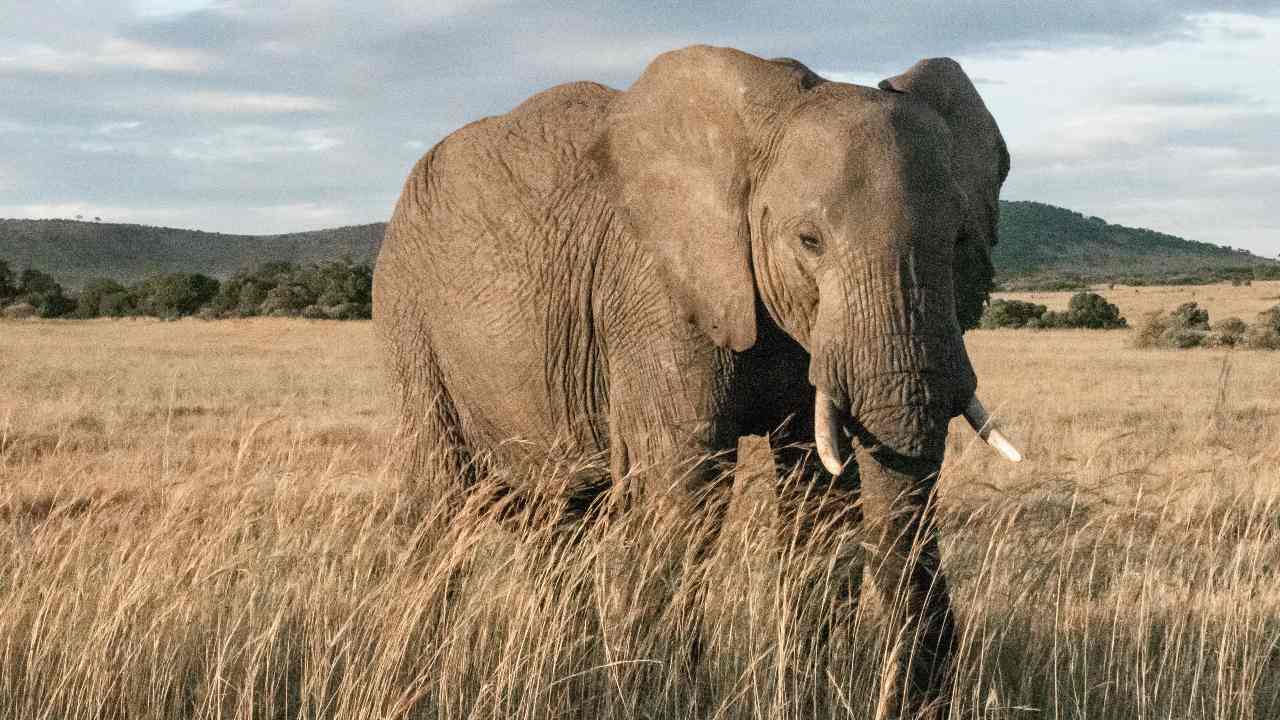
The images, from a satellite orbiting 600 kilometres (some 370 miles) above the Earth, could survey upward of 5,000 square kilometres (nearly 2,000 square miles) of land in one pass, captured in a matter of minutes.[/caption]Currently, the most common technique for surveying elephant populations in savannah environments is aerial counts from manned aircraft.The academics said aerial surveyors can get exhausted, and are sometimes hindered by poor visibility."Satellite monitoring is an unobtrusive technique requiring no ground presence, thus eliminating the risk of disturbing species, or of concern for human safety during data collection," they added. "A process that would formerly have taken months can be completed in a matter of hours."The scientists first developed the techniques at South Africa's Addo Elephant National Park.The images, from a satellite orbiting 600 kilometres (some 370 miles) above the Earth, could survey upward of 5,000 square kilometres (nearly 2,000 square miles) of land in one pass, captured in a matter of minutes.The scientists trained the algorithm to recognise only adults among a dataset of 1,000 elephants in the park and then found it was also able to identify calves.They hope such conservation technologies will be embraced as a matter of urgency to protect the world's biodiversity.

Careless Whispers: Scientists discover that plants can 'talk' to each other using smells
Life on Mars? European Space Agency’s Orbiter discovers ice water deposits at equator
Microsoft briefly overtakes Apple as the most valuable company, Apple back on top again
Even NASA is facing a tough time, starts layoffs following major budget cuts
ISRO, NASA's NISAR satellite to get ready by Jan-end, will monitor Earth's snow-covered regions