


New space technology uses satellite data to predict droughts 5 months in advance
The discoveries made from the study could have massive benefits for society & global population.

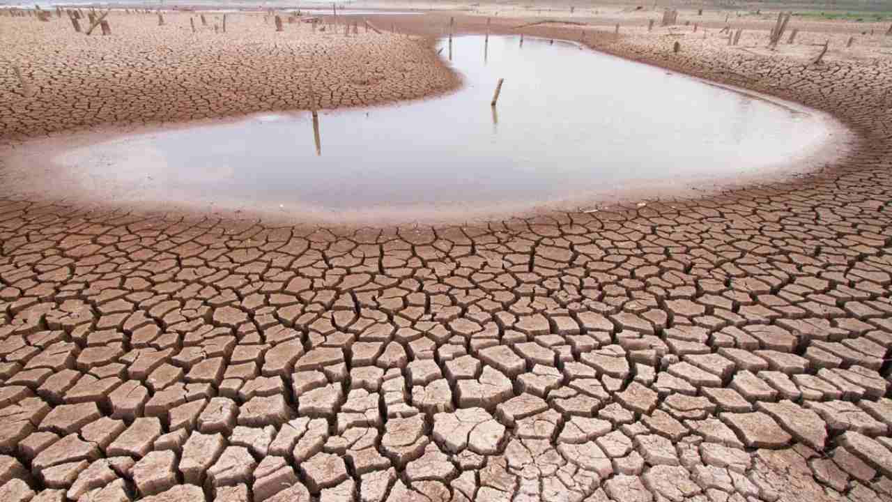
While plenty of the world saw flooding in 2017, equally plenty also experienced extreme drought.[/caption]According to researchers, their success comes after many years of attempts in the field to predict droughts by looking down from the sky. Now that such a technology exists, it also opens up the possibility of preparing for droughts well ahead of time and with more certainty than ever before.Drought forecasts that come from the ANU study will be combined with the most recent satellite maps of flammable vegetation from an existing system for monitoring called the Australian Flammability Monitoring System at ANU. This system currently predicts the risk of uncontrollable fires over the months to come.The researchers made use of a pair of NASA/German Gravity Recovery and Climate Experiment (GRACE)-Follow-On satellites, which provided measurements of changes in water stored anywhere on Earth. This is the first mission of any kind to monitor total stored water and the planet's water cycle.

Careless Whispers: Scientists discover that plants can 'talk' to each other using smells
Life on Mars? European Space Agency’s Orbiter discovers ice water deposits at equator
Microsoft briefly overtakes Apple as the most valuable company, Apple back on top again
Even NASA is facing a tough time, starts layoffs following major budget cuts
ISRO, NASA's NISAR satellite to get ready by Jan-end, will monitor Earth's snow-covered regions