


Millions of uncounted trees dotting Sahara, Sahel deserts found in satellite imagery
Improved imagery over the years have powered counting of trees, particularly over vast stretches of land, best done by a computer.

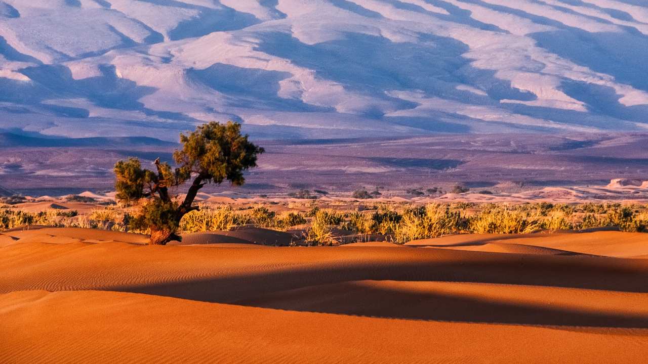
A desert tree in Morocco, Sahara. Image Courtesy: Sergey Pesterev/Unsplash[/caption]Before the deep learning programme could get to work, it had to be trained, an onerous process that saw Brandt individually count and label nearly 90,000 trees himself. It took him a year."The level of detail is very high and the model needs to know how all kind of different trees in different landscapes look," he said."I did not accept misclassifications and further added training when I saw wrongly classified trees."Setting a conservation baselineIt was worth the effort, he said, allowing what would have taken millions of people years of work to be computed in just hours."Other studies are based on estimations and extrapolations, here we directly see and count each tree, it is the first wall-to-wall assessment."The survey, published Wednesday in the journal Nature, covered an area spanning 1.3 million square kilometres (around 500,000 square miles) and involved analysis of more than 11,000 images.The technique suggests "it will soon be possible, with certain limitations, to map the location and size of every tree worldwide", wrote Niall P. Hanan and Julius Anchang of New Mexico State University's Plant and Environmental Sciences Department, in a review of the research.And accurate information on vegetation in deserts and other arid zones is "fundamental to our understanding of global-scale ecology, biogeography and the biogeochemical cycles of carbon, water and other nutrients," they wrote in the review commissioned by Nature.Better information may help determine how much carbon is being stored in these sites, which are not usually included in climate models, Brandt said.But it's too early to say whether having an accurate count of this tree life will affect how we understand climate change and its acceleration, he added.He hopes now to use the technique elsewhere, to map more previously hidden trees in the 65 million square kilometres of arid regions in the world.

Careless Whispers: Scientists discover that plants can 'talk' to each other using smells
Life on Mars? European Space Agency’s Orbiter discovers ice water deposits at equator
Microsoft briefly overtakes Apple as the most valuable company, Apple back on top again
Even NASA is facing a tough time, starts layoffs following major budget cuts
ISRO, NASA's NISAR satellite to get ready by Jan-end, will monitor Earth's snow-covered regions