


Machine learning, satellite imagery used to track movement of disease-carrying mosquitoes
The tools could potentially help identify methods of keeping mosquito population small enough to prevent disease transmission.

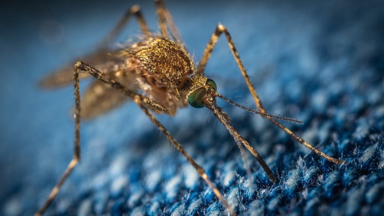
Representational image. Credit: Unsplash[/caption]The study authors claim that in its native African home, the mosquito was a forest dweller, drawing food from places scarcely populated by humans. However, it has since specialised to feed on humans and thrive in human-impacted areas.The machine-learning model and NASA-supplied satellite imagery helped them combine spatial data with genetic data to drill down into specific movement of the mosquitoes, Sarmaan said. The mosquitoes are drawn to human networks of transportation, she added, indicating that activities such as plant nurseries are inadvertently transporting insects to new areas.Sarmaan added that they are hopeful that the tools they are developing can help identify effective methods of keeping mosquito population small enough to avoid disease transmission.The findings of the study were published in the 22 February issue of the Proceedings of the National Academy of Sciences.

Careless Whispers: Scientists discover that plants can 'talk' to each other using smells
Life on Mars? European Space Agency’s Orbiter discovers ice water deposits at equator
Microsoft briefly overtakes Apple as the most valuable company, Apple back on top again
Even NASA is facing a tough time, starts layoffs following major budget cuts
ISRO, NASA's NISAR satellite to get ready by Jan-end, will monitor Earth's snow-covered regions